
Using ByronMobile, software for Android terminal, it is possible to relief of the GPS coordinates of control points in outdoor areas or drains.
ByronMobile, via a synchronization process, it sends the collected data to ByronWeb.
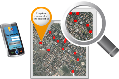
The Geolocation and positioning on Google maps, integrated in a special interface ByronWeb, allows the display of installations carried out.
Allows
- Views
- Monitoring activities carried out
- Export data of the GPS coordinates